QGIS
The Quantum GIS project is an open source GIS application that supports a number of geographic file types – including ESRI’s shapefile format. The software allows you to visualise, manage, query and analyse data and to compose maps for printing. The software is free and runs on Windows, Linux or Mac.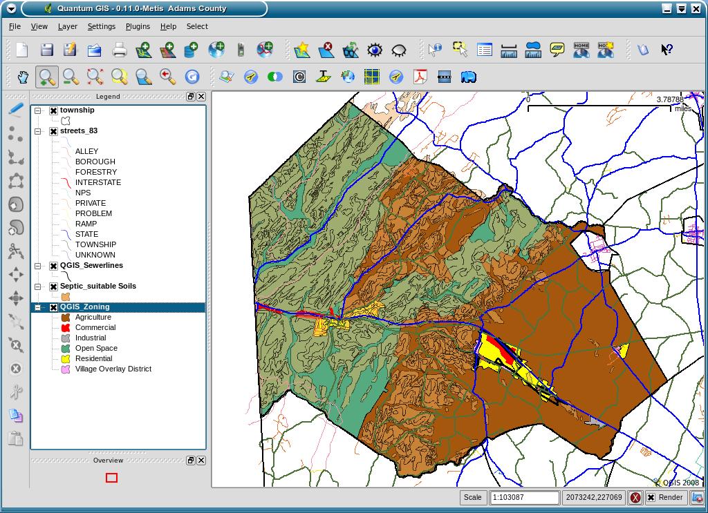
For information on classroom use of QGIS, see this blog post.
No comments:
Post a Comment